
Ultralydskanning
Ultrasonic scanning is a non-destructive testing method that uses high-frequency sound waves to inspect and map the internal condition of materials and structures. By sending sound waves into concrete, steel, asphalt, or rock, and analyzing how those waves reflect back, it becomes possible to detect hidden features, weaknesses, and changes over time—without causing any damage.
Ta kontakt


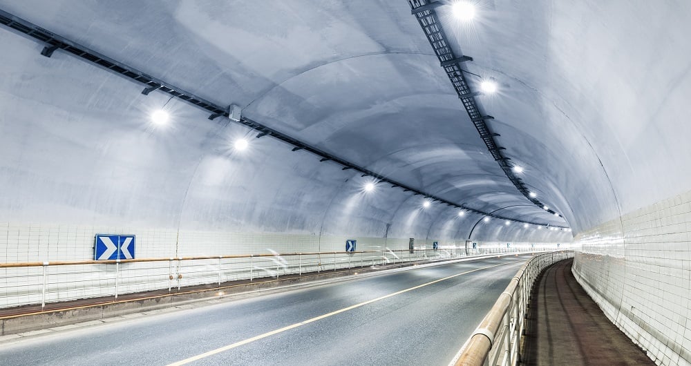
Mobil kartlegging og geofysikk
Med laserskannere montert på en bil kan vi innhente millioner av punkter per sekund. Denne svært detaljerte punktskyen brukes til å lage 3D-vektormodeller, og den er et grunnlag for å produsere en TIN-modell for avanserte applikasjoner. Samtidig med skanning kan bilder og video tas. Bildene er 360-graders gatebilder som kan nås og brukes i en separat webvisning. Mapspace Vi kan også samle inn informasjon om veiforhold og kartlegge forsyningsledninger, grunnvann og berggrunn ved hjelp av jordpenetrerende radar. Utforsk våre andre mobile kartleggings- og geofysiske tjenester nedenfor.


